Services
Home > Services > Utility Mapping - Underground Services
Utility Mapping - Underground Services
TUSKER has developed a full utility and service mapping service of which various levels may be selected by the customer depending on specific survey requirements.
A typical survey would comprise:
Desk study -
Statutory service records and other site-specific data, either customer-supplied or compiled by Tusker, are reviewed and used in the planning of the survey campaign.
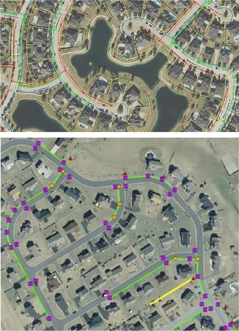
Topographical survey -may be customer-supplied.
Electro-magnetic tracing and marking of all power and conducting lines (e.g. telecom, CATV, cast iron water and gas)
Radio sonde survey of open lines including major drainage.
Ground Penetrating Radar (GPR) survey
Employing various transect spacings to identify and resolve any non-conducting services e.g. PE gas or water, PVC ducting, asbestos cement water etc.
Vacuum Excavation Service Verification
Coordinate ground trace markings and GPR grids within the topographical survey reference framework
Post-processed GPR data utilizing GSSI Radan software.
Produce a model or drawing of the results by customer specifications.